Rannerdale Knotts and the Valley of the Bluebells
A walk up into the Rannerdale Valley, round the base and then up the fairly short but quite steep Rannerdale Knotts, along the ridge with lovely views towards Buttermere and back down the valley.
- Distance - 4.5 miles
- Time - 2.5 - 3 hours
- Starting point - 2 roadside car parks at Cinderdale Common on the B5289 between Lorton and Buttermere. If these are both full there is also a small parking area at Buttermere Hause GR NY163184— if you park at the latter follow the walk instructions from no.3.
- Feedback - Contact Keswick Tourism Association by email [email protected]
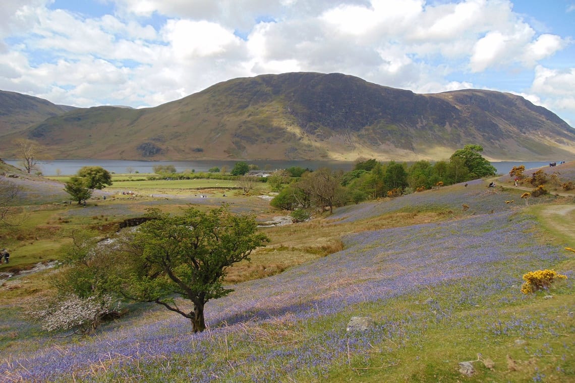
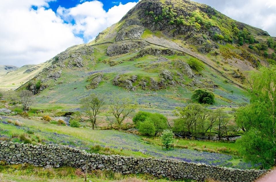
1. From the Cinderdale Common car park walk 100m up the Cinderdale Beck to the path just above you and turn right. Ford the stream and follow the path up the valley. In early to mid May the Rannerdale Valley turns blue with a beautiful carpet of bluebells.
2. Cross a bridge over Squat Beck and turn right to go down the left hand bank of the stream. Continue on this path beneath the crags of Rannerdale Knott until you come to the small parking area at Buttermere Hause.
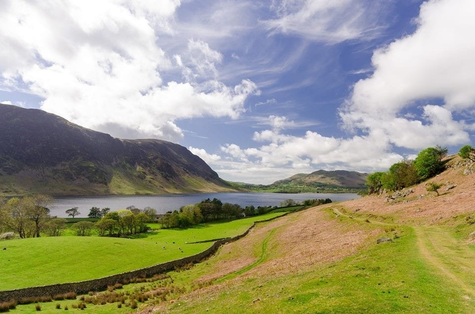
3. Go through the car park and turn left onto the road which runs beside the shores of Crummock Water. Almost immediately take an uphill path on your left which is rocky at first becoming grassy. As you ascend ignore two faint grassy paths to your left and keep upwards on the same path. You will come to a junction of paths from which point you can see the Lake of Buttermere. At this point take the path take the path to your left. After a grassy start the path climbs steeply via a steep rocky staircase. The path becomes grassy again. Pause to catch your breath. You can now see Loweswater beyond Crummock Water. The path turns to the right in front of a pair of rocky outcrops and winds its way up fairly steeply. The path bends to the right, a little scrambly in places over rocks.
4. At the summit an excellent vantage point awaits from which you can see Crummock Water, the Solway Firth and if it is clear across to Scotland. From the summit follow the path past the cairns and along the long undulating rocky ridge with views to Buttermere village and lake.
5. As you near the end of the ridge you will come to a junction of 5 paths. Take the path left to join the valley below. As you meet the path turn left and follow it down the Rannerdale Valley. Cross the bridge you came over at the start of the walk and retrace your steps back down the valley to the car park.
Download pdf - Rannerdale Knotts walking route
Have you found this walking route useful and would like to make a donation? All our walks are provided free of charge to download but you might consider donating a small one-off amount to help with the running costs and upgrades to our website. This website is run by Keswick Tourism Association, a not for profit trade organisation, which is funded almost totally by its members.