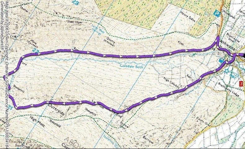
Outerside and Stile End from Braithwaite Walking Route
Starting from the village of Braithwaite this 6-mile route takes in the summits of Stile End and Outerside before dropping down to Force Crag, the last working mine in the Lake District until its closure in 1990. The walk ends with a gentle descent down the Coledale Valley.
- Distance - 6 miles
- Time - 3 hours
- Parking - Parking is available in the playground of Braithwaite School CA12 5TD for £3 per day at weekends and in school holidays, on-street parking at other times
- Notes - some steep ascents and descents
- Public transport - X5 bus to Braithwaite
- Feedback - Please contact Keswick Tourism Association email [email protected]
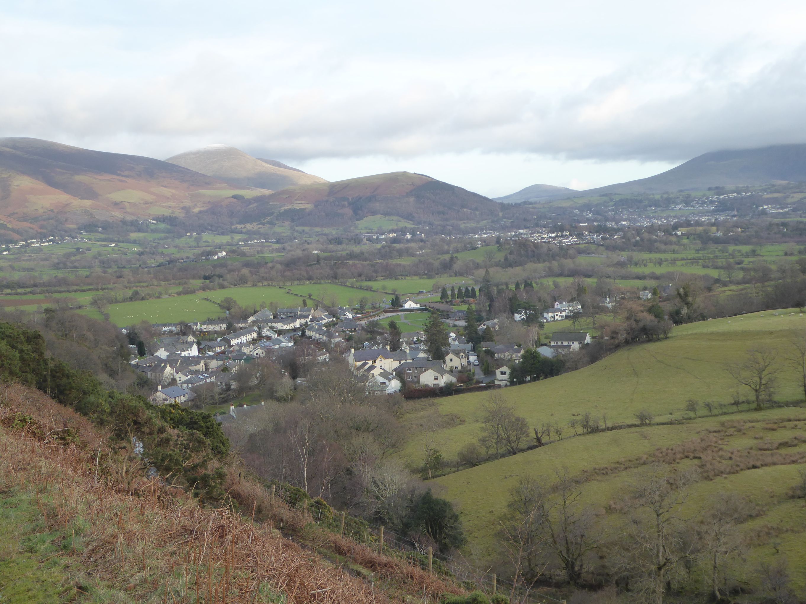
1. Turn left out of the playground. At the junction turn right then immediately left, past the Royal Oak. Go over the bridge and then turn right past the village shop. Follow the road as it winds upwards to a t-junction. Turn left and carry on up. Already there are views over the village of Braithwaite to the Skiddaw range. Once past the houses go through a gate and the road becomes a footpath.
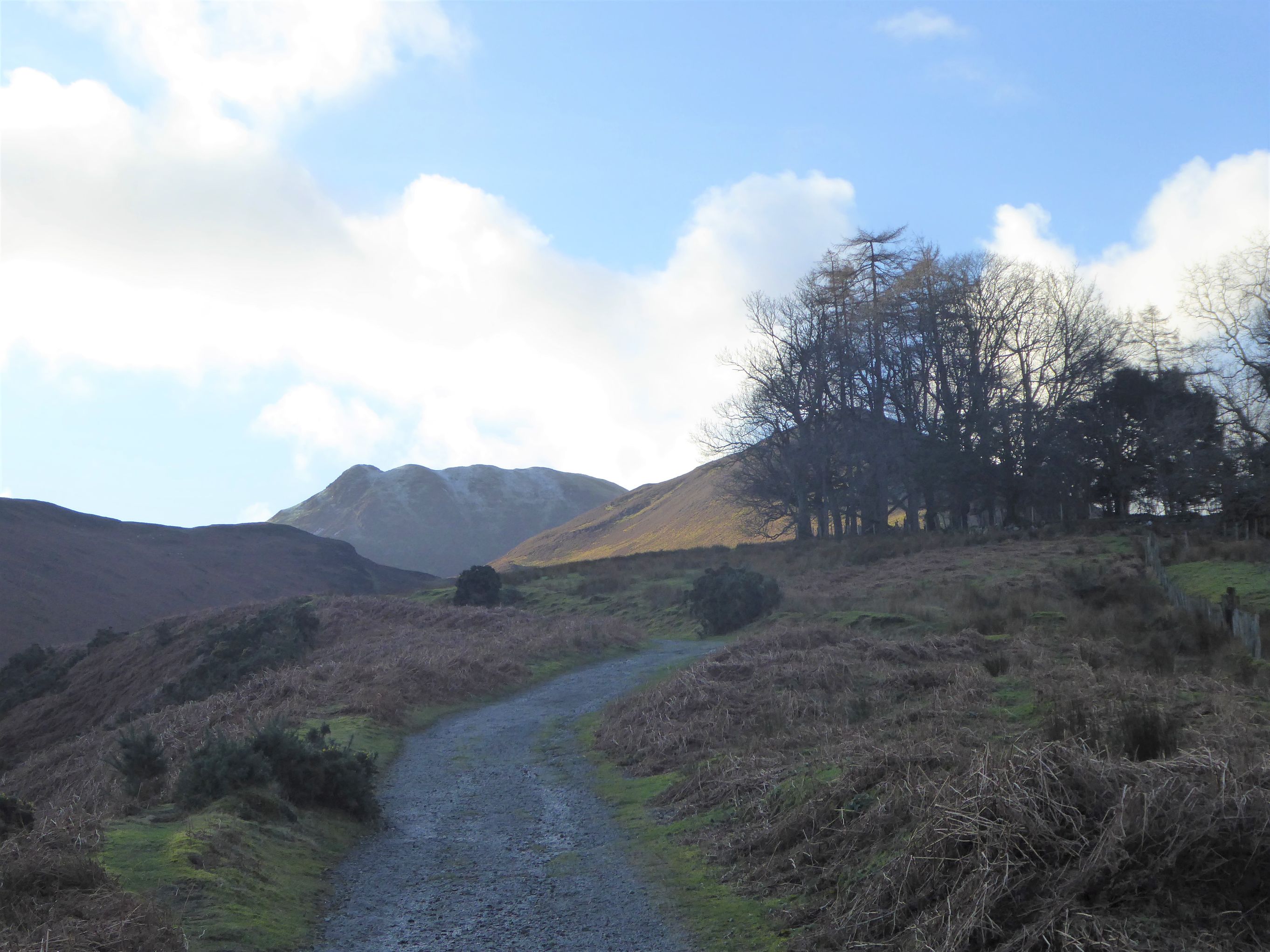
2. Continue up the path pausing to enjoy the view behind. Keep on up passing a clump of trees on your right. Ahead Barrow is to your left, Causey Pike is straight ahead in the distance with its distinctive bumpy top and Stile End is in the foreground to your right.
3. As you reach the foot of Stile End fork right to climb the clear path up to reach the first summit of the day. From the summit follow the path which forks to the right. The path goes down through a boggy area. As it flattens out take the path forking right towards Outerside. The path drops down a little way before beginning the ascent of Outerside.
4. A narrow stony path climbs its way up through the heather. It becomes steeper and a little rocky before reaching a false summit. The going eases and the summit is soon reached.
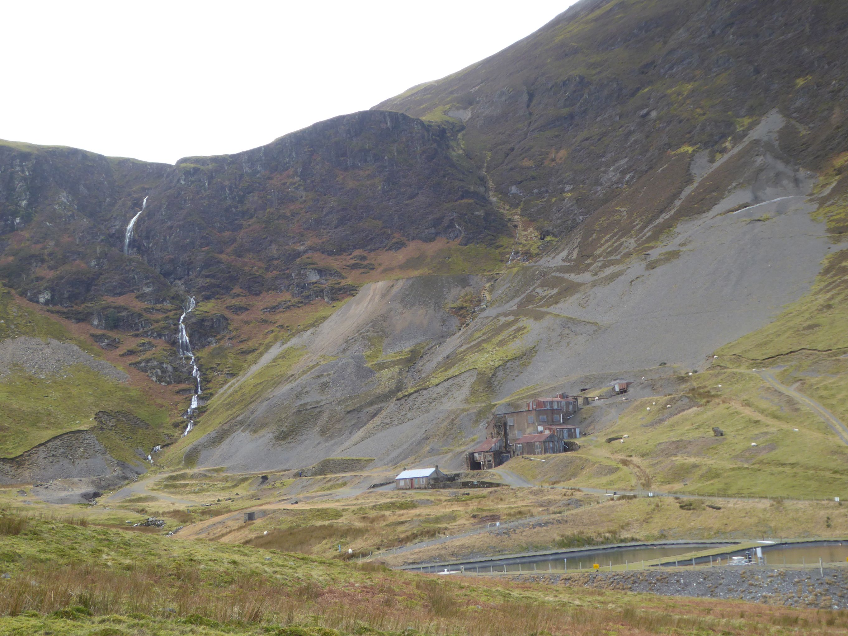
5. From the summit keep on in the same direction and follow the path ahead of you downhill. As the path flattens out turn off to the right on a faint path.As you descend the path becomes a little clearer and bends to the right. You will see Force Crag Mine in the valley below and the waterfalls cascading down beyond it
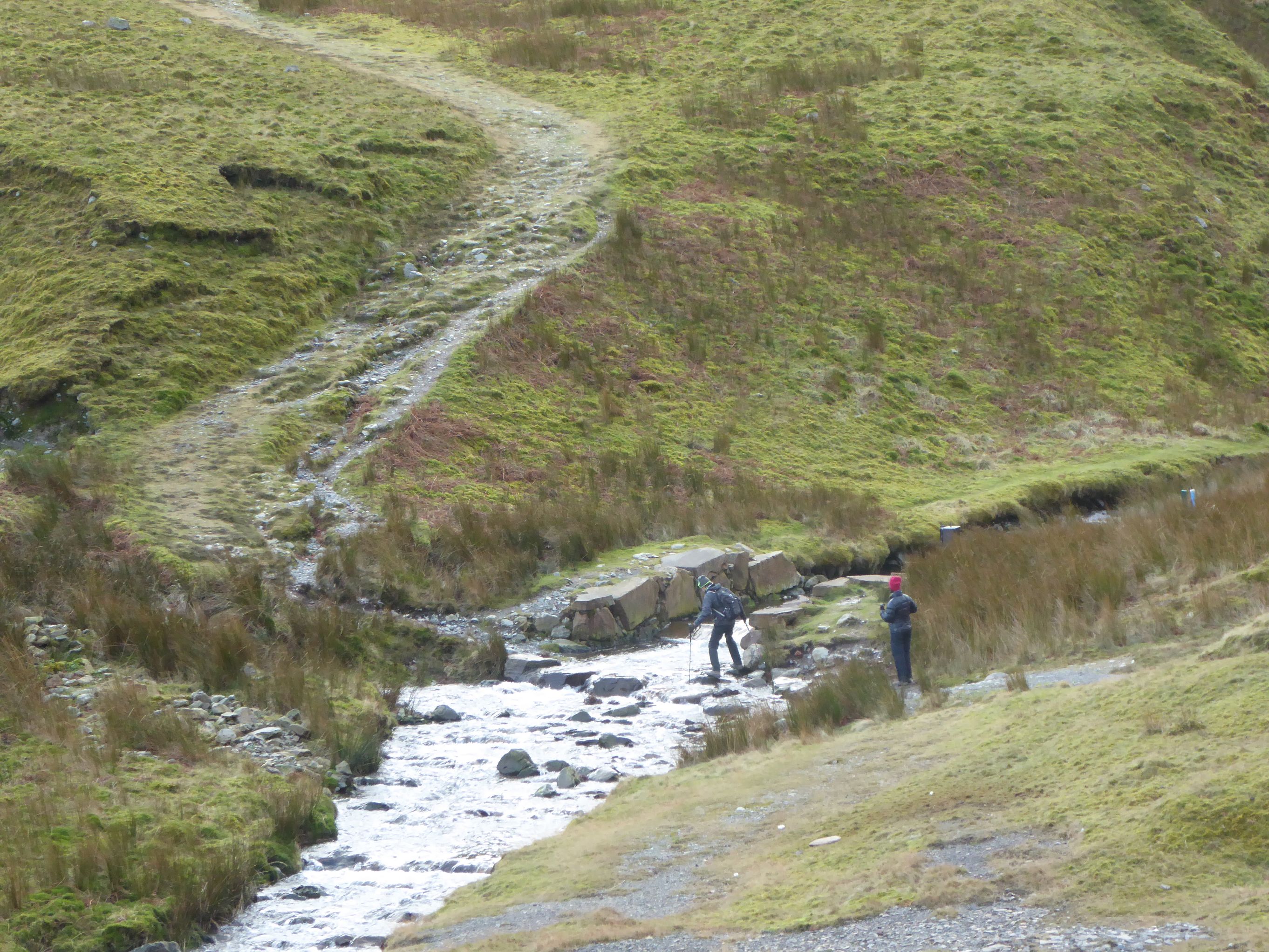
6. Follow the path all the way down to Coledale beck to the right of the mine. The bridge over the beck was washed away so you have to cross by way of the rocks. The path rises to a t-junction at which point you turn right.
7. You now follow the mine track almost all the way back to the village.
8. As you get lower down Braithwaite comes into view. Go through a gate and continue down until you come to the road. Turn right down the road past the Royal Oak and then left back to Braithwaite School.
Did You Know?
Force Crag Mine was the last mineral mine to be worked in the Lake District finally closing in 1990 following a collapse. It had been in operation for over 200 years with mining for lead in the early years and later barites and zinc. Barites were mined during World War Two for making munitions and these had to be transported down the fellside.
The mine has been restored and there are regular guided tours with the National Trust which allow you to explore the above-ground processing mill.
Map created at GPSvisualiser.com
Map data from Openstreetmap.org
Download pdf - Outerside and Stile End walking route
Have you found this walking route useful and would like to make a donation? All our walks are provided free of charge to download but you might consider donating a small one-off amount to help with the running costs and upgrades to our website. This website is run by Keswick Tourism Association, a not for profit trade organisation, which is funded almost totally by its members.